

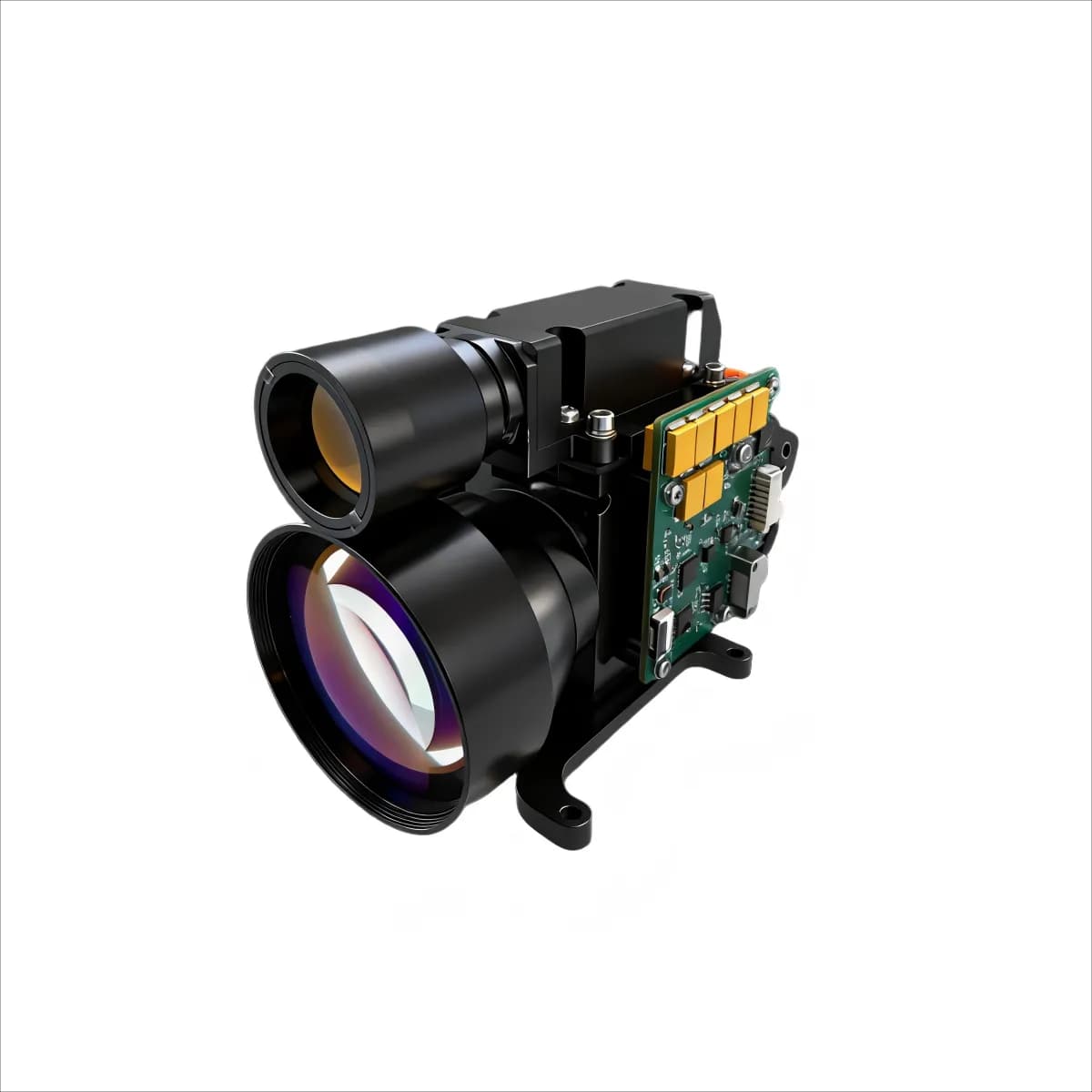
Long-range laser rangefinders provide direct distance measurements for systems that must locate, track or map targets beyond the reach of conventional proximity sensors. Their practical performance depends on the complete measurement chain: transmitter energy, beam quality, receiver aperture, detector sensitivity, timing electronics, target reflectivity and atmospheric conditions.
What determines usable range?
A time-of-flight rangefinder emits a short laser pulse and measures the interval before the reflected signal returns. Distance is calculated from that travel time. The maximum usable range is not a fixed property of wavelength alone. A large reflective target in clear air can produce a much stronger echo than a small, dark or angled target under haze, rain or high background illumination.
Engineers should compare products using a stated target size, reflectivity, visibility and measurement probability. Accuracy, minimum range, repetition rate, multi-target capability and false-alarm behavior are equally important because a maximum-range figure does not describe how the module performs in a real control loop.
EO/IR surveillance and stabilized payloads
Radar and imaging sensors can detect or identify an object, while a laser rangefinder supplies precise line-of-sight distance for tracking and geolocation. In a stabilized EO/IR payload, the rangefinder must be aligned with the camera boresight and integrated with the platform timing, power and communications architecture. Calibration should be checked across temperature and after vibration or shock exposure.
Maritime, infrastructure and geospatial measurement
Coastal observation, port monitoring, surveying and infrastructure inspection can all benefit from fast non-contact distance data. Maritime systems must account for platform motion, low-reflectivity surfaces, sun glint and humid air. Surveying and mapping equipment must combine range data with angular position and a verified coordinate frame; the rangefinder alone does not produce a complete geospatial solution.
Mining, forestry and industrial monitoring
Long-range measurement can support stockpile profiling, terrain clearance, asset positioning and remote inspection where direct access is difficult. Dust, vegetation, mixed targets and moving equipment may create multiple returns. The integration team should define which return is reported, how invalid measurements are flagged and how data is filtered before it is used by an automated system.
OEM integration checklist
- Define target size, reflectivity, range envelope and visibility conditions.
- Confirm wavelength, pulse behavior and the finished system's laser-safety requirements.
- Check supply voltage, peak and average power, interface levels and command timing.
- Provide a repeatable mechanical datum and a stable thermal path.
- Verify transmitter-to-receiver alignment and host-sensor boresight.
- Test measurement probability, false alarms and multi-target behavior with representative scenes.
- Qualify the assembled system for temperature, vibration, shock, humidity and contamination.
Selecting a long-range module
A credible specification should state the conditions behind every range value and separate module performance from finished-system performance. Review ERDI's 1535 nm laser rangefinder module portfolio for available architectures, or contact ERDI with your target, environmental, interface and packaging requirements.